
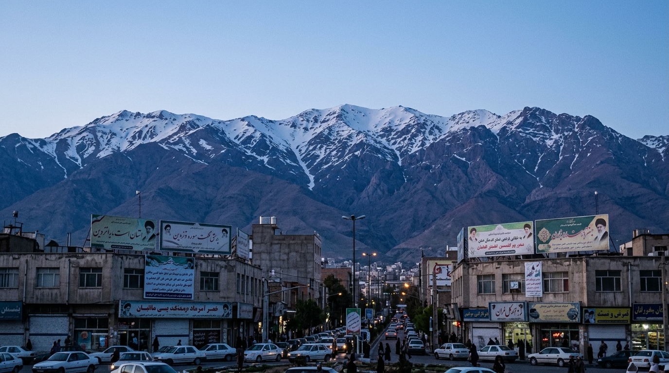
Iran’s Quiet Mountains : Commercial satellite images may show little visible activity above ground, but they continue to fuel debate over what could be happening beneath Iran’s most sensitive nuclear sites.
When it comes to Iran’s nuclear program, the most revealing images are often the least dramatic.
There are no towering smoke clouds, no fresh craters, and no spectacular explosions dominating the latest commercial satellite photographs. Instead, what analysts continue to study are quiet entrances, sealed tunnels, and ordinary-looking vehicle movements around some of the country’s most protected facilities.
That silence may be the most important story of all.
Recent high-resolution commercial satellite imagery has renewed attention on two locations in Iran’s Isfahan Province. One set of images focuses on a major nuclear site where observers note few obvious changes on the surface. Entrances appear blocked, construction activity looks limited, and there is no clear indication of major above-ground expansion.
At first glance, the photographs appear almost uneventful.
Yet that appearance has become part of the broader discussion surrounding Iran’s nuclear infrastructure. Security analysts have long argued that the country’s most valuable nuclear assets are increasingly designed to remain hidden beneath reinforced facilities rather than exposed to satellite cameras.
A second series of images has generated similar interest near the tunnel complex often referred to as Pickaxe Mountain, located close to the Natanz nuclear facility.
Again, there is no dramatic evidence of military conflict or visible structural damage.
Instead, analysts point to routine vehicle movements entering and leaving underground access points. By themselves, such observations prove very little. Construction crews, maintenance teams, and logistics personnel all generate similar patterns. Satellite imagery alone rarely provides definitive answers about activities taking place beneath hardened underground complexes.
Nevertheless, these images continue attracting international attention because of the strategic importance of the locations involved.
Iran has invested heavily over many years in building fortified underground facilities capable of surviving military strikes. Supporters of Tehran argue these projects are defensive measures designed to protect civilian nuclear infrastructure from potential attacks. Critics contend that underground expansion reduces transparency and makes international monitoring significantly more difficult.
The truth is that satellites can observe only part of the picture.
Modern commercial imagery has transformed intelligence gathering by allowing governments, journalists, researchers, and independent organizations to monitor developments almost in real time. Images that once belonged exclusively to military intelligence agencies are now available to private analysts around the World.
Yet even the sharpest photographs have limits.
A satellite can reveal a newly excavated tunnel entrance, fresh earth moving, or increased vehicle traffic. It cannot directly determine what equipment is operating underground, what materials are being stored inside secure facilities, or what decisions political leaders are making behind closed doors.
That uncertainty explains why every period of diplomatic engagement with Iran is accompanied by renewed satellite monitoring.
Negotiations may reduce immediate military tensions, but they rarely eliminate strategic suspicion. As long as questions remain about the scope and future direction of Iran’s nuclear activities, commercial imagery will continue serving as one of the world’s most accessible windows into an otherwise closed system.
The debate also reflects a broader change in modern intelligence.
Open-source analysis has become an increasingly powerful tool. Independent researchers now routinely examine satellite imagery alongside government statements, engineering data, and publicly available documents to build assessments once reserved for intelligence agencies.
This democratization of intelligence has obvious benefits. It encourages transparency, allows outside experts to challenge official narratives, and broadens public understanding of complex international issues.
However, it also creates new risks.
Images can be interpreted differently by different analysts. Routine maintenance may appear suspicious. Ordinary logistics can resemble military preparation. Without additional evidence, satellite photographs often raise questions rather than settle them.
That distinction matters.
Political leaders, media organizations, and the public should resist the temptation to treat every satellite image as definitive proof of hidden activity. Responsible analysis requires combining imagery with inspections, intelligence reporting, diplomatic information, and independent verification.
Still, the latest photographs underscore one reality that has shaped international security discussions for years.
The world’s attention is increasingly focused not on what can be seen above Iran’s mountains but on what may exist beneath them.
Underground facilities have become central to modern military planning because they complicate surveillance, reduce vulnerability, and create uncertainty for adversaries. Whether viewed from Tehran’s perspective as necessary protection or from its critics’ perspective as strategic concealment, these hardened sites will remain central to future diplomatic and security debates.
The quiet landscapes visible in commercial satellite images therefore tell only part of the story.
Sometimes the absence of dramatic change is itself the reason analysts keep watching. Calm surfaces can conceal active planning, routine maintenance, or simply ordinary operations. Distinguishing between those possibilities remains one of the greatest challenges facing governments, intelligence professionals, and independent researchers alike.
For now, the mountains remain silent.
The questions beneath them do not.